SitePace.ai
SitePace.ai (Walktheprop Pvt. Ltd.) · Inspection · Shipping
Last updated: 2026-03
Summary
SitePace.ai is a cloud-based construction documentation and safety monitoring platform combining three product lines: helmet-mounted 360-degree site capture, drone-based aerial mapping, and CCTV-fed AI monitoring. It covers PPE compliance monitoring, hazard identification, worker location tracking, daily walkthrough documentation, and drone survey across health-and-safety and quality-assurance subtasks. The platform is listed as shipping from India with seed funding from SucSEED Indovation Fund (April 2025), but RIC has confirmed zero deployments and zero named customers to date.
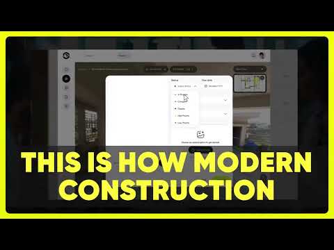
How it works on your site
PPE Compliance Monitoring
The CCTV AI product processes existing site camera feeds to flag PPE violations, vest color, and restricted-area breaches. Detection runs continuously against a vendor-listed checklist; the safety team reviews flagged events rather than monitoring feeds manually. Vendor FAQ indicates core AI detection features are still in development, so the shipped scope of this subtask is uncertain.
Hazard Identification and Unsafe Behavior Detection
The system targets hazards including workers under lifted loads, vehicle proximity events, and open edge exposure. The safety officer receives flagged events from the camera feed rather than relying on periodic manual walkthroughs for hazard spotting.
Daily Walkthrough and Progress Documentation
A worker wearing a helmet-mounted 360-degree camera walks the site while the SitePace app aligns captures to an uploaded floor plan using Visual-IPS (computer vision positioning without GPS or beacons). The resulting virtual tours are organized by date, letting remote stakeholders review site conditions without a physical visit. The crew's walkthrough replaces what would otherwise be scattered 2D photos and handwritten field notes.
Drone Survey and Aerial Documentation
The drone product generates RGB orthomosaic maps at 2 to 5 cm per pixel resolution (vendor-stated), 3D photogrammetry models, and thermal imagery for facade and roof inspections. Drone operation requires separate hardware and regulatory permits; the platform processes the captured data into volumetric analysis, elevation maps, and side-by-side flight comparisons.