 Buildots
 BuildotsCamera-on-hardhat progress tracker with BIM comparison and delay forecasting50 deployments · 6 countries

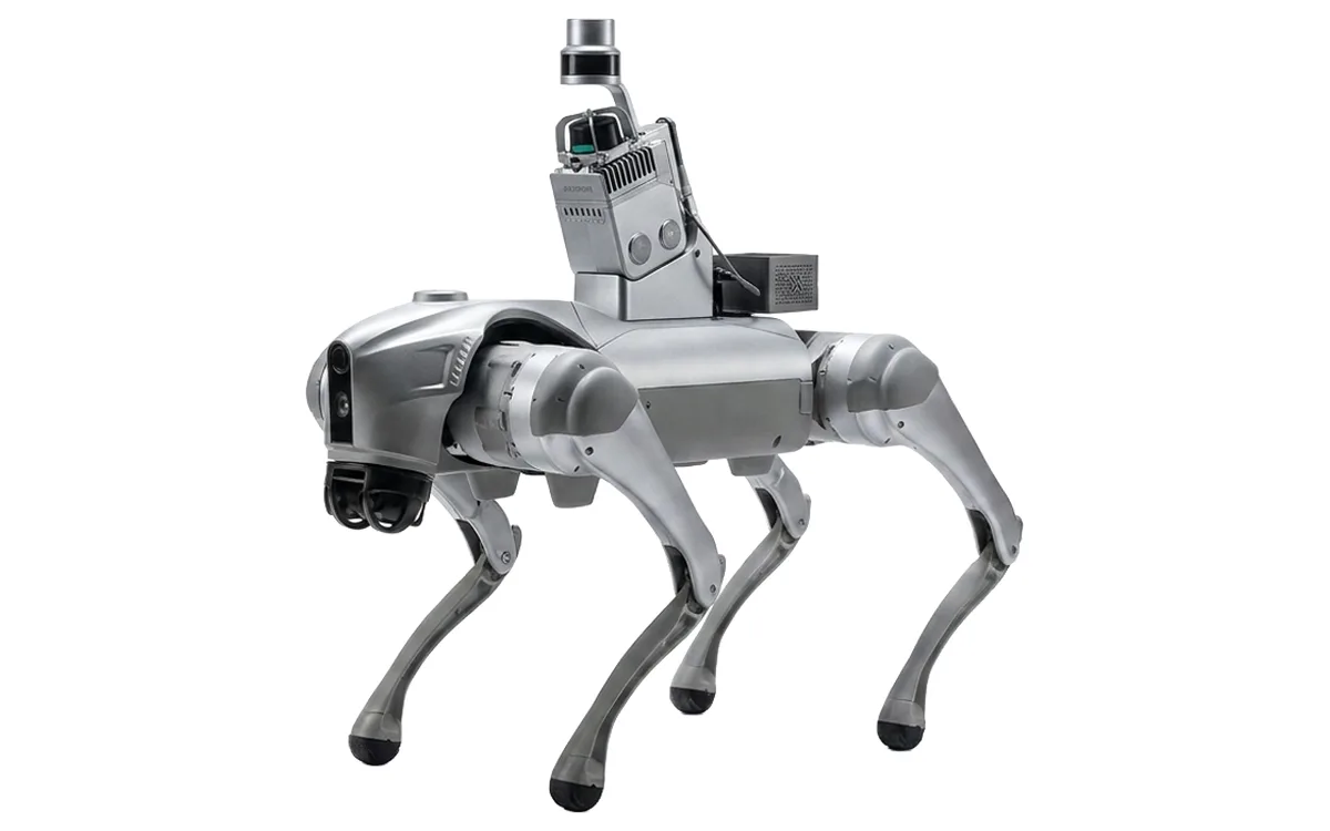 Image: ScantiX
Robot-carried 360° site capture for day-by-day 3D records
N.E.X One is a site-capture concept from ScantiX: a machine intended to walk a repeatable route through a building and record 360° imagery, so that day-by-day captures line up and can be compared. Sensing in the base configuration is two 360° cameras, which is photogrammetric; LiDAR is optional, and the vendor positions explicitly against LiDAR. The first system is not built. The vendor's own April 2026 investor deck states that ScantiX is raising capital to build the first system, a EUR 750k pre-seed ask, and describes the company as moving from an early prototype workflow to real construction-site pilots. SCANTIX e.U. was registered in Austria on 2026-05-14, which makes it under four months old. The record carries zero deployments, zero customers, zero partners, zero closed funding, zero published pricing and zero independent press about ScantiX.
Daily Walkthrough and Progress Documentation
Image: ScantiX
As the maker states it.
BuildotsBuildotsCamera-on-hardhat progress tracker with BIM comparison and delay forecasting50 deployments · 6 countries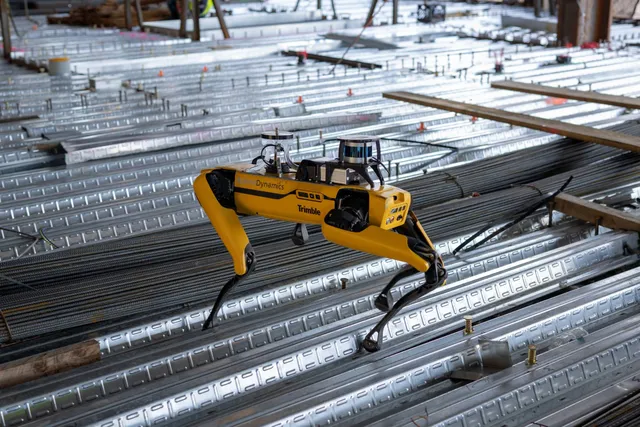 Image: Boston DynamicsSpot
 Boston DynamicsLegged robot that walks repeat capture routes on construction sites, climbing stairs with a scanning payload21 deployments · 4 countries
 DroneDeploy
 DroneDeployMulti-source reality capture; drone, 360 camera, and ground robot combined13 deployments · 4 countries
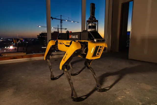 Image: FieldAIFieldAI
 FieldAIAutonomous Spot-based scanner for daily progress capture and BIM deviation checks6 deployments · 2 countries
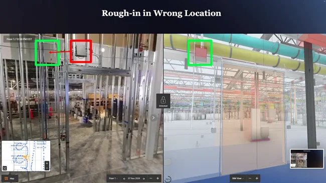 Image: DoxelDoxel
 Doxel360-video progress tracker that scores completion against BIM and schedule5 deployments · 1 country
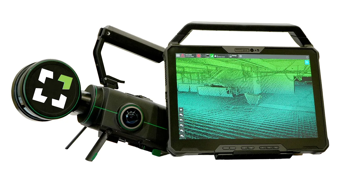 Image: Exyn TechnologiesNexys
 ExynModular autonomous LiDAR mapper deployable by drone, backpack, or ground robot4 deployments · 4 countries
Something wrong? How corrections work