
 DroneDeploy
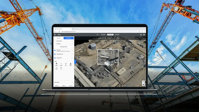
 DroneDeployMulti-source reality capture; drone, 360 camera, and ground robot combined13 deployments · 4 countries
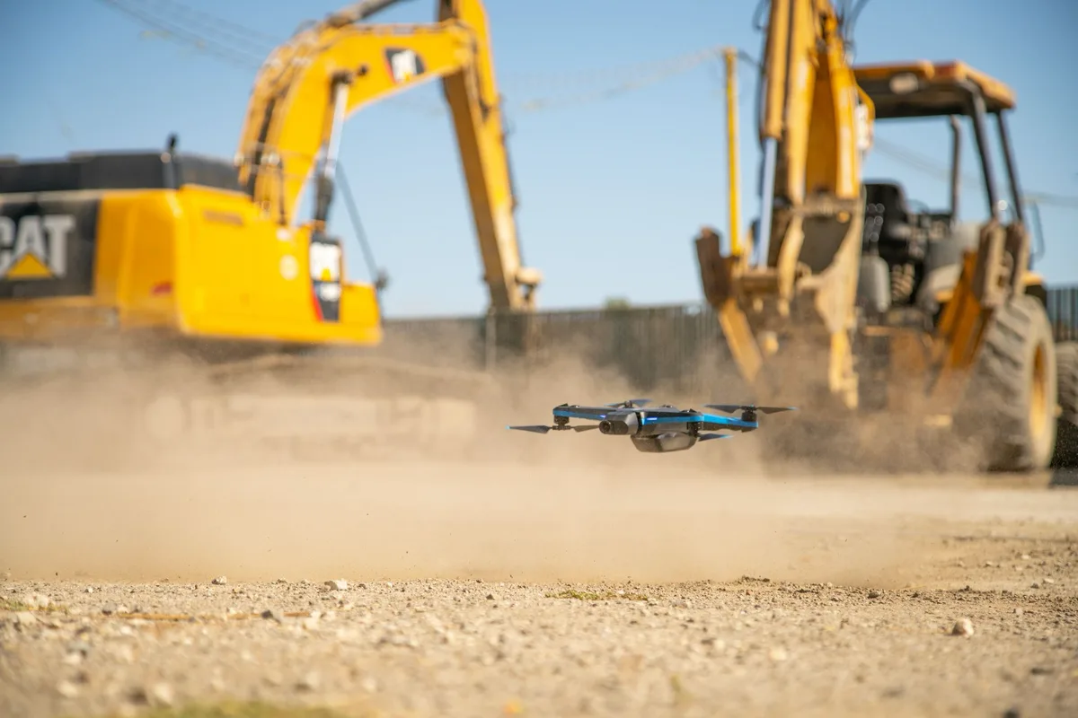 Photo: Skydio
Small autonomous quadcopter with 360° obstacle avoidance for bridge inspection and 3D capture of assets
The Skydio 2 is a small autonomous quadcopter from Skydio, Inc. (US) that navigates with six onboard navigation cameras and 360° obstacle avoidance, flown from the Skydio app on a smartphone with an optional Skydio Controller. No job subtask is mapped to it yet; in its construction and infrastructure evidence it is used for bridge inspection, 3D capture of industrial assets and construction-site mapping. DroneDJ and DroneLife reported a 2020 statewide FAA waiver that allowed NCDOT to fly Skydio 2 drones beyond visual line of sight for bridge inspection without visual observers; NCDOT says the drone's detect-and-avoid technology allows it to operate within a foot of the bridge structure, and on the Marc Basnight Bridge inspection it flew around pillars, between girders and inside columns. The evidence dates from 2020-2021 and Skydio publishes no product status for the Skydio 2; independent UAV Coach wrote in January 2022 that "Skydio 2+ will completely replace the Skydio 2 going forward."
Drone Survey and Aerial Documentation
Photo: SkydioPhoto: SkydioSkydio 2 Sundt Construction
Photo: Skydio4 deployments · 2 companies · 1 country
As the maker states it.
DroneDeployDroneDeployMulti-source reality capture; drone, 360 camera, and ground robot combined13 deployments · 4 countries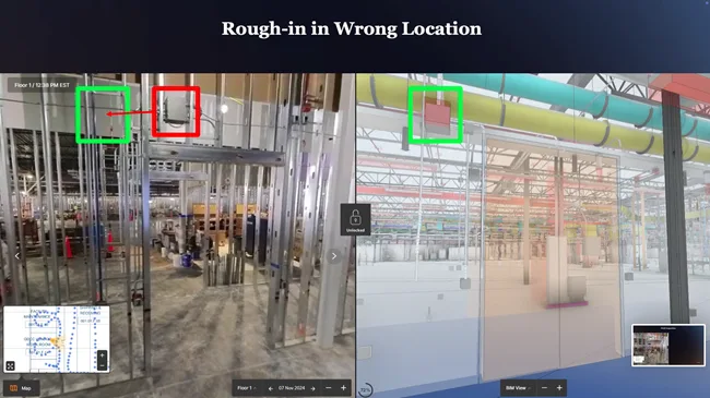 Image: DoxelDoxel
 Doxel360-video progress tracker that scores completion against BIM and schedule5 deployments · 1 country
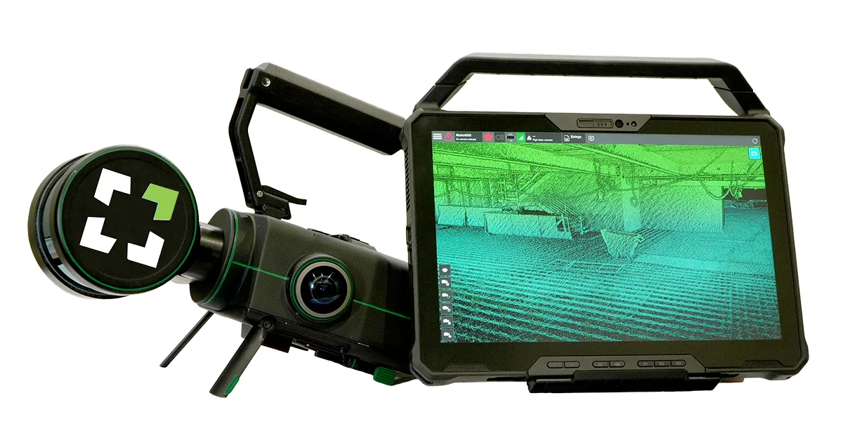 Image: Exyn TechnologiesNexys
 ExynModular autonomous LiDAR mapper deployable by drone, backpack, or ground robot4 deployments · 4 countries
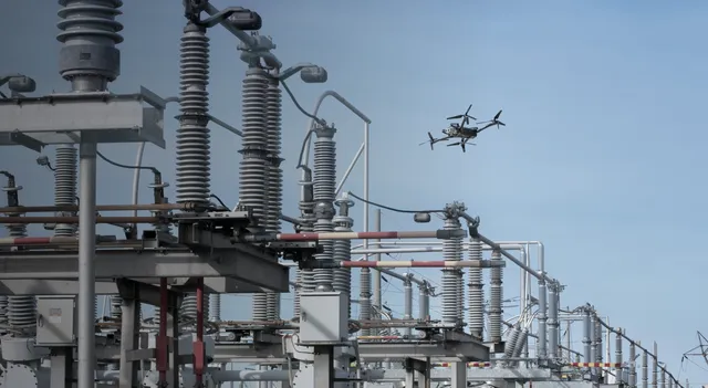 Image: SkydioSkydio X10SkydioDrone for repeatable construction site capture, pilot-flown or docked4 deployments · 1 country
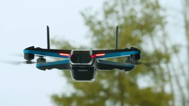 Image: SkydioSkydio 2+SkydioCompact autonomous quadcopter that flies dock-launched indoor and outdoor inspection and progress patrols2 deployments · 1 country
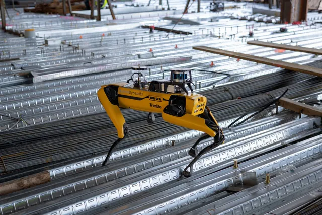 Image: Boston DynamicsSpot
 Boston DynamicsLegged robot that walks repeat capture routes on construction sites, climbing stairs with a scanning payload18 deployments · 2 countries
Something wrong? How corrections work