


 DroneDeploy
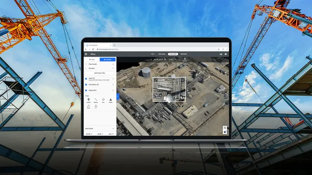
 DroneDeployMulti-source reality capture; drone, 360 camera, and ground robot combined13 deployments · 4 countries
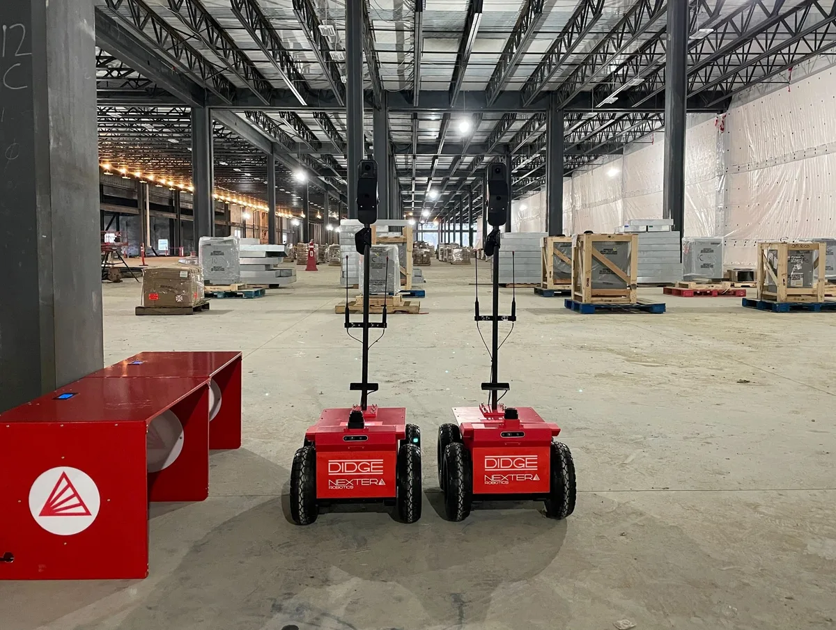 Image: Nextera Robotics
Wheeled robot that drives site interiors on its own, capturing 360-degree photos and point clouds
The Didge is a compact wheeled inspection robot that autonomously navigates active construction site interiors to capture 360-degree photography, generate point clouds, and run AI-based safety and progress analysis. It covers six subtasks across daily walkthrough documentation, safety monitoring, 3D scanning, BIM-to-field comparison, and defect tracking; manual walkthroughs, exterior inspection, and trades coordination stay with the crew. The Didge has been shipping since 2021 and is deployed on commercial, residential, and healthcare projects in the United States, with a Gilbane Building Company joint venture providing market access.
The BIM Compare Tool overlays captured site data with the uploaded design model to flag deviations, missing elements, and code violations. This requires a BIM model upload to the Didge AI platform; projects without a BIM model are limited to photo documentation and safety monitoring.
The robot deploys from its charging station, navigates the floor autonomously, and captures 360-degree imagery from consistent daily locations without a human operator walking the site. AI processes the imagery to track construction progress by trade, recognizing hundreds of object types and generating percent-in-place metrics. The platform produces virtual walkthroughs with remote navigation, and post-completion documentation provides a behind-the-walls record for future maintenance.
The Didge captures the floor in 360-degree imagery on its daily patrol, and the project team walks that capture remotely to log issues: tag an item, take a screenshot, open an RFI or push it to Procore. Spotting the defect and assigning it to a trade stays with the project team.
The robot captures LiDAR and camera data during its autonomous patrol, generating point clouds that feed the BIM Compare Tool and spatial documentation. The crew does not operate a tripod scanner or walk a capture route; the robot handles capture from its daily patrol.
The robot detects fall hazards, uncovered holes, and unsafe conditions across its patrol routes using the same vision AI stack as PPE monitoring. Custom detection tasks can be programmed for site-specific hazards; one confirmed example is pooled water detection on a healthcare project.
The robot identifies PPE violations, uncovered holes, guardrails, ladders, and lighting conditions using onboard cameras and cloud-based AI. It positions itself near high-risk activity areas pulled from the project schedule for targeted monitoring. The safety team reviews automated weekly reports and a Construction Site Safety Index score rather than relying on manual walk-arounds.
Image: Nextera Robotics
4 deployments · 3 companies · 1 country
As the maker states it.
DroneDeployDroneDeployMulti-source reality capture; drone, 360 camera, and ground robot combined13 deployments · 4 countries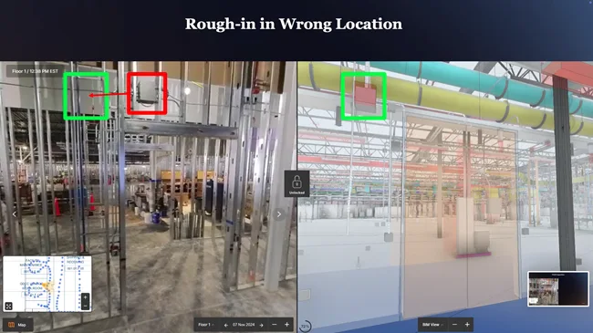 Image: DoxelDoxel
 Doxel360-video progress tracker that scores completion against BIM and schedule5 deployments · 1 country
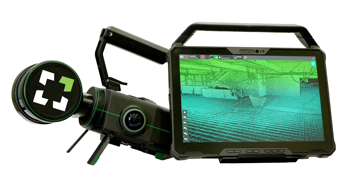 Image: Exyn TechnologiesNexys
 ExynModular autonomous LiDAR mapper deployable by drone, backpack, or ground robot4 deployments · 4 countries
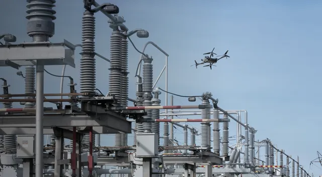 Image: SkydioSkydio X10SkydioDrone for repeatable construction site capture, pilot-flown or docked4 deployments · 1 country
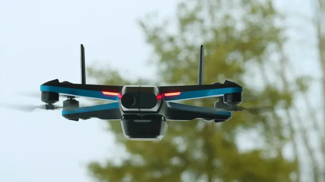 Image: SkydioSkydio 2+SkydioCompact autonomous quadcopter that flies dock-launched indoor and outdoor inspection and progress patrols2 deployments · 1 country
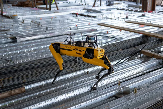 Image: Boston DynamicsSpot
 Boston DynamicsLegged robot that walks repeat capture routes on construction sites, climbing stairs with a scanning payload18 deployments · 2 countries
All 13 robots for progress tracking & quality inspection
DroneDeployDroneDeployMulti-source reality capture; drone, 360 camera, and ground robot combined13 deployments · 4 countriesImage: Exyn TechnologiesNexysExynModular autonomous LiDAR mapper deployable by drone, backpack, or ground robot4 deployments · 4 countries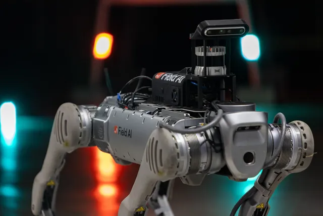 FieldAI
 FieldAIAutonomous Spot-based scanner for daily progress capture and BIM deviation checks4 deployments · 1 country
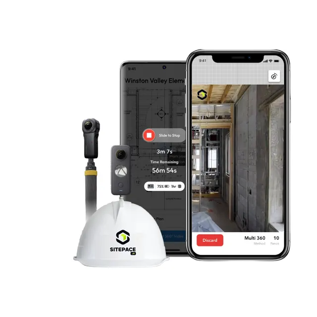 Image: SitePace.aiSitePace.ai
 SitePace.aiHelmet-mounted 360 capture with virtual tours and drone aerial mapping0 deployments
Something wrong? How corrections work